Tsakistra is a Greek village of the province of Nicosia, found in the geographic region of Marathasa, about 72 kilometers southwest from the capital. From the city of Morfou that is found at its northeastern side, it has a distance of about 35 kilometers. Due to the closing of the main street artery that it was connecting the village with the city of Nicosia via Xeros- Morfou, as a result of the Turkish invasion in 1974, Tsakistra is connected with the city of Nicosia via Kykkos –Gerakies and the distance from the city of Nicosia via this street is about 115 kilometers.
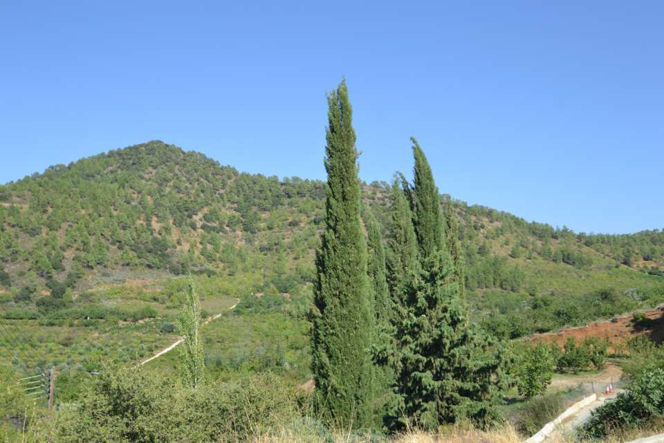
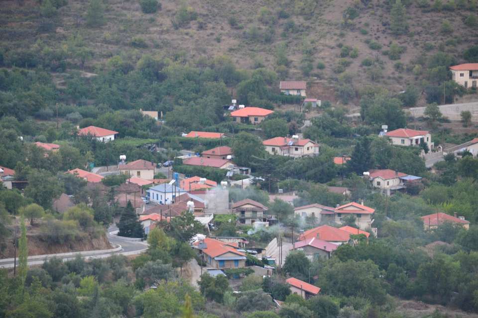
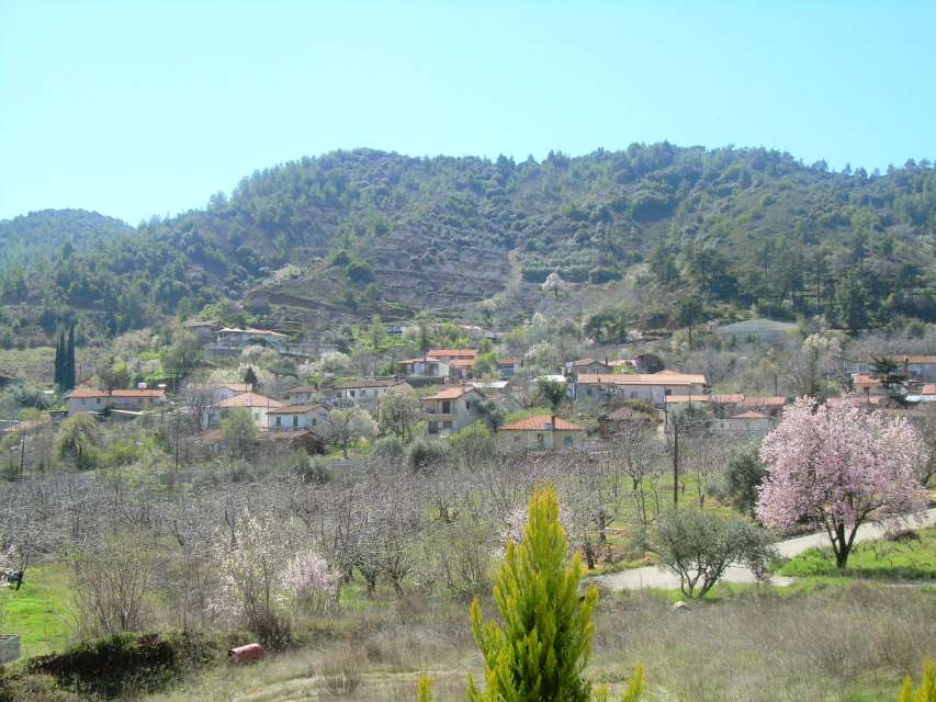
Tsakistra is built at the upper part of the valley of Kambos' river at an average altitude of 790 meters, with the western boards being part of the administrative limits of the provinces of Nicosia - Paphos. Characteristic in the region of the village is the mountains with the deep valleys, the abrupt sides and the tall mountaintops from which some of them are higher than 1.000 meters. The tallest of these are Tripylos (1.362 m.) about 5 kilometers southwesterly of the village at its western borders, Kykkos (1.318 m.) about 4,5 kilometers at its southern side and Prophet Elias (1.012 m.) about 1 kilometer at its northern side. The landscape of the village consists of small streams that supply the rivers Limnitis, Kambos and Xeros that move to the gulf of Morfou, and the rivers Diarizos and Xeros that move to the southerly marine region of Paphos.
From the geological point of view, the administrative extent of the village consists mainly of hard and durable rocks.
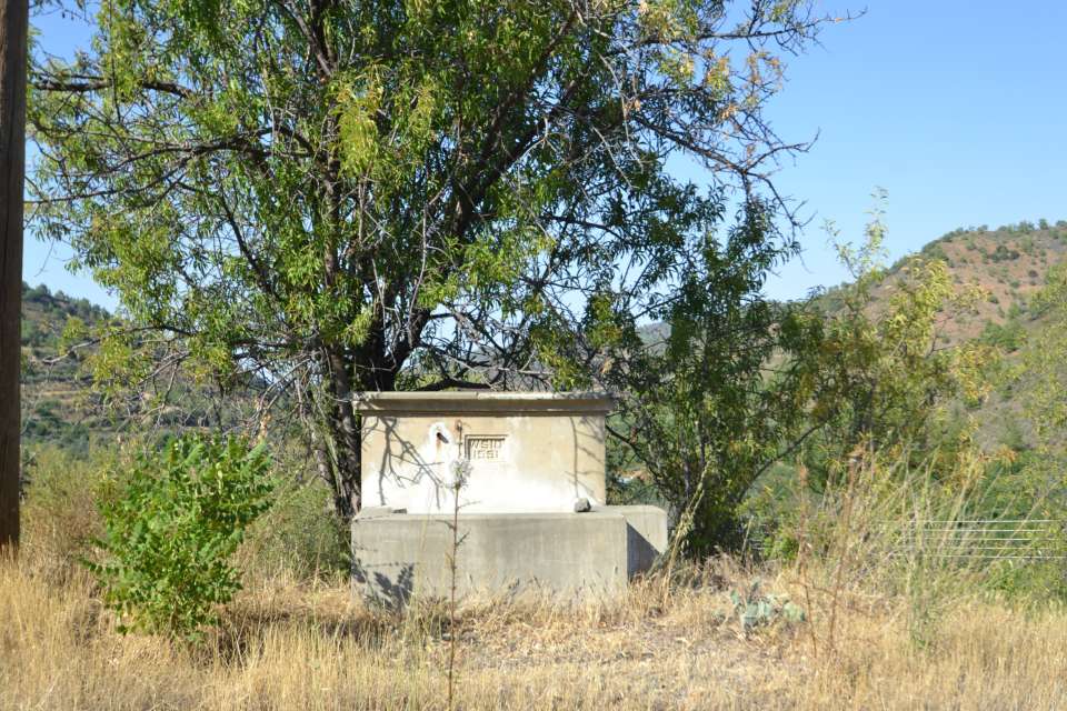
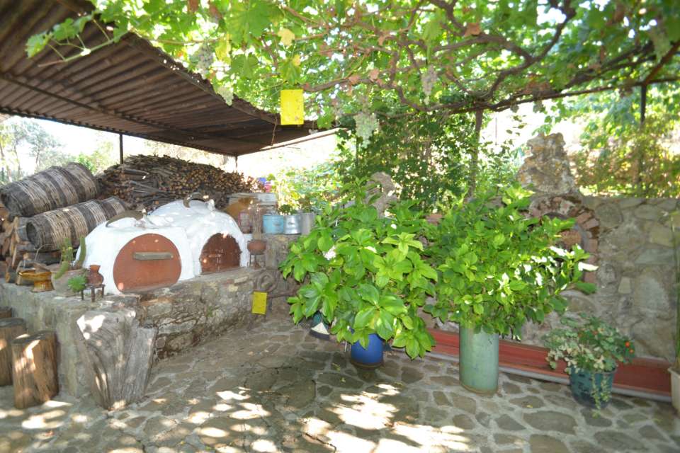
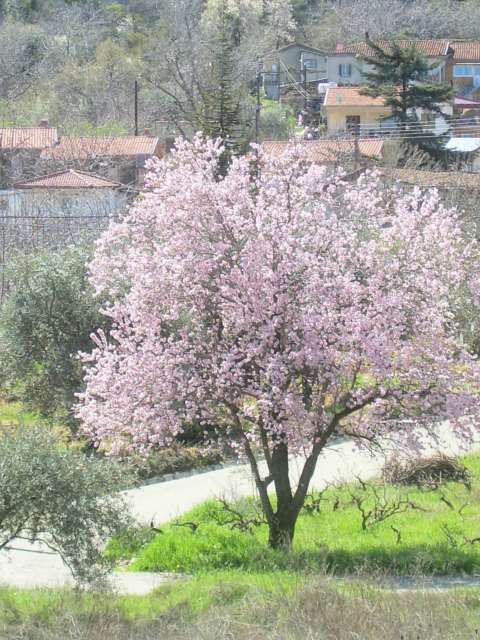
The village of Tsakistra accepts a high average annual rainfall of about 800 millimeters. Despite the high rainfall, the mountainous bas-relief does not allow to have great agricultural growth. The cultivated ground, that constitutes only 2% of the total administrative extent of the village, is limited in the valley of Kambos. In the sides of the valley there are vines of wine varieties. Lower, around the watercourse of the river, there are various types of fruit trees, mainly cherry trees and apple trees and in a smaller extent pear-trees, peach-trees, plum-trees and "aktinidia". The government owned forest of Paphos occupies the bigger part of the administrative extent of the village. The high rainfall accepted by the forest allowed having rich natural vegetation of pines, "latzies", "xistarkes", "antrouklies", thyme, "sfevdamnous" and many other types of trees and bushes.
The little suitable agricultural area was not enough to nourish the population of the village. For this reason the residents of Tsakistra, as well as those of the neighboring village of Kambos, they were occupied with the treatment of timber from the around forest region. The logging in Cyprus is related with the villages of Kambos and Tsakistra.
Cattle raising do not exist in the village except from the stockfarming of some goats and poultry.
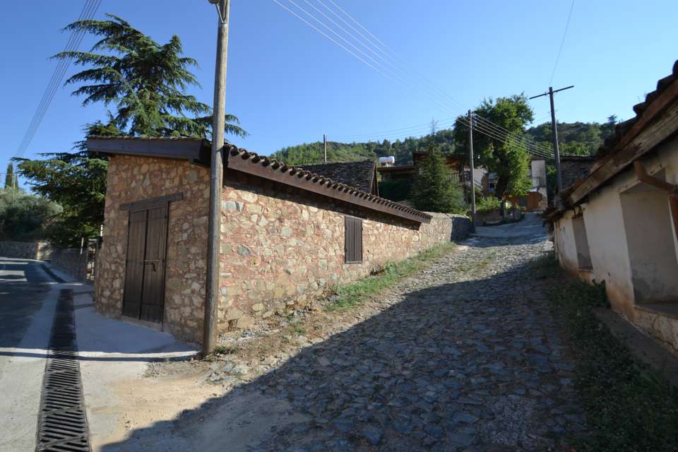
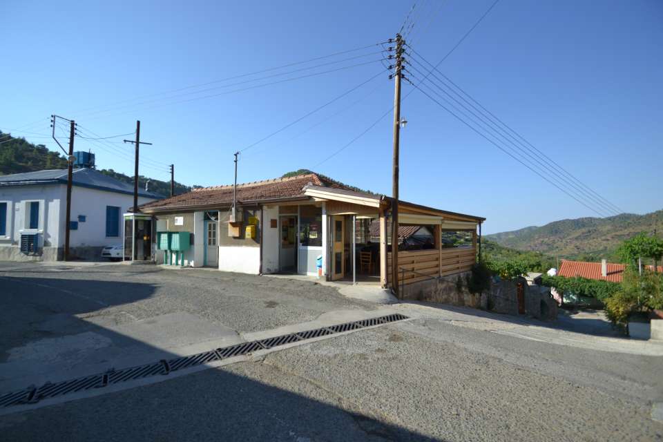
The village of Tsakistra is included in the rural growth plan of the region of Marathasa and it has been profited by the improvement of the streets in the village.
As far as communication is concerned, the village of Tsakistra is connected in its northeast side with the village of Kambos (about 2 kilometers) and in its southeast side with the monastery of Virgin Mary of Kykkos (about 6 kilometers) that is found in its administrative limits.
The village had some demographic fluctuations. In 1881 the residents were 92 and were increased to 108 in 1891, to 136 in 1901, to 152 in 1911 but were decreased to 149 in 1921 and to 148 in 1931. In 1946 the residents were 282, but they were decreased to 218 in 1960 and to 188 in 1973. Afterwards the Turkish invasion in 1974 the village of Tsakistra accepted provisionally a number of Greekcypriots displaced mainly from the plain of Morfou. Thus in 1976 the population of the village was increased to 342 residents, that however were decreased to 156 in 1982. In the population of 1982 they are also included the tenants of the monastery of Virgin Mary of Kykkos.
At the locality where the village is found, it was found initially the land belonging to the neighboring monastery of Kykkos. Progressively the workers in this area founded a settlement and acquired their own fortunes. The foundation of the village should be placed early in the period of the Ottoman domination.
The name of the village means a place where breaking was taking place (the verb "tsakkizo" from the Cypriot dialect, it means I break, but not grind). It is not known why the village took this name. It exists a version that the residents were breaking pitchers in their effort to fill them from the only one tap that existed in the village. Also we suppose that, when the land belonging to Kykkos existed, it existed a place where certain works were taking place (e.g. breaking of olives or almonds or other dry fruits or other products). Perhaps the name Tsakistra simply implied a region with difficult roads for the pedestrians where it existed the danger of injuries ("tsakkistoun"). The path of Kambos-Kykkos around in the 14th century that passed outside from the village had a "tsakkisma"(two paths), the one towards Kykkos and the other towards the village.
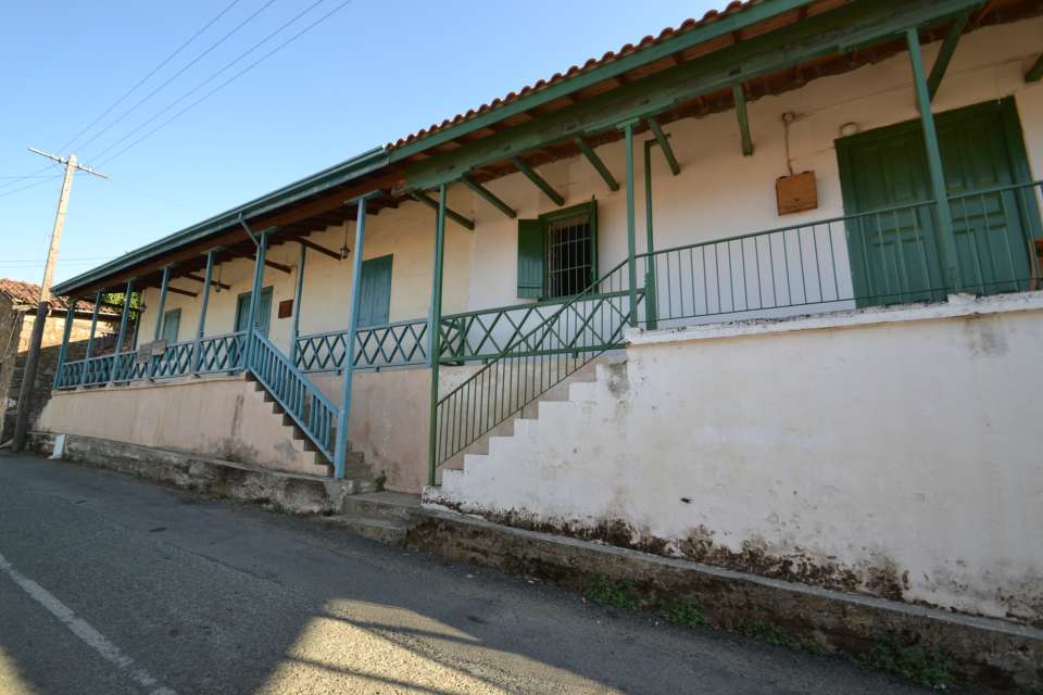
The church of the village is dedicated to Agios Nicolaos. A mural of Virgin Mary is saved in this church. There are old icons that together with the iconostasis suffered bad repairs. Certain of the pictures had been transported here from some devastated chapels of the region, like the one dedicated to Agios Mamas and the one dedicated to Agia Anastasia. G. Jeffery (1918) reports also a chapel dedicated to Prophet Elias, and as it writes, he had seen there some worn out old pictures.
The neighboring monastery of Kykkos influenced and continues influencing so much economically and intellectually, the life of the village.
|